ORBIS: The Stanford geospatial network model of the Roman world
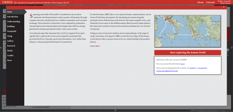
Stanford University project - ORBIS reconstructs the time cost and financial expense associated with a wide range of different types of travel in antiquity.
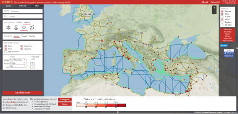
The model is based on a simplified version of the giant network of cities, roads, rivers and sea lanes that framed movement across the Roman Empire. It broadly reflects conditions around 200 CE but also covers a few sites and roads created in late antiquity. The primary model consists of 632 visible sites, most of them urban settlements but also including important promontories and mountain passes, and covers close to 10 million square kilometers (~4 million square miles) of terrestrial and maritime space. 301 sites serve as sea ports. The baseline road network encompasses some 85,000 kilometers kilometers (53,000 miles) of road or desert tracks, complemented by some 28,000 kilometers (17,500 miles) of navigable rivers and canals.
The project was designed and led by the Roman historian Walter Scheidel and the Digital Humanities specialist Elijah Meeks.


Recent comments